

Humminbird GPS Lakemaster Southeast States Version 5 Includes Micro SD Card
Specs
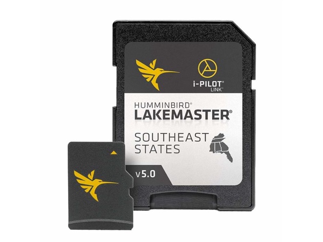
LakeMaster Chart - Southeast States Version 5Upgrade to the unrivaled accuracy and detail of Humminbird LakeMaster lake maps. From easy-to-read contours to highlighted depth ranges, to scrollable lake lists, you'll have the tools you need to make the most of your limited time on the water. And with an ever-expanding list of available regions and lake maps exclusive to Humminbird owners, plus innovations like LakeMaster PLUS and SmartStrike, fish are running out places to hide. More than 10,000 lake maps can be found within our LakeMaster library, spread across a dozen regions in North America, including parts of Canada. Nearly 2,000 lakes are mapped in High Definition and include the most accurate survey data available, often collected by our own team of GIS analyst cartographers. Most of our High Definition lake maps were created by our own GIS survey crew who spend tireless hours mapping year-round. Their information is then processed, resulting in highly accurate 1'-3' depth contour maps, providing anglers with the detail they can't find anywhere else. The remaining maps in our library are Standard Definition and include contours typically in 3'-5' intervals. Humminbird LakeMaster creates these maps by using publicly available information as a base map, then our GIS analysts apply techniques to ensure accuracy of shorelines and update visible features. The revolutionary patented features of LakeMaster maps, combined with your Humminbird fishfinder and Minn Kota trolling motor will enhance your fishing experience. And that's no fish tale. For an added angling advantage, opt for Humminbird LakeMaster PLUS. These maps include all of the features of LakeMaster with one key addition: aerial photography of High Definition lakes for the insight of contour lines, docks, buildings, and structure. View these aerial images on your Humminbird fish finder as a single layer, overlay it with LakeMaster
Specifications:
-
New High-Definition lake map data available for the following lakes: Dale Hollow, Green River, Martin, Sidney Lanier, Watts Barr, Weiss and more.
-
Can be used with a Minn Kota i-Pilot Link® trolling motor, allowing you to “Follow” a selected depth contour line, delivering precise, automatic boat control
-
Scrollable lake list allows you to view and research lakes from your Humminbird fish finder
-
LakeMaster cards are compatible with all GPS-equipped HELIX, SOLIX, ONIX and ION Series models, along with select 600-1100 Series models.
Technical Details:
Product Dimensions: 7.5 x 5 x 1 inches ; 5.6 ounces
Item model number: HUM-600023-8
Shipping
- Ships to Contiguous US
- Expected Delivery: May 1 - May 5
Terms
- Returns accepted within 30 days of shipment for orders within the Contiguous US.